-

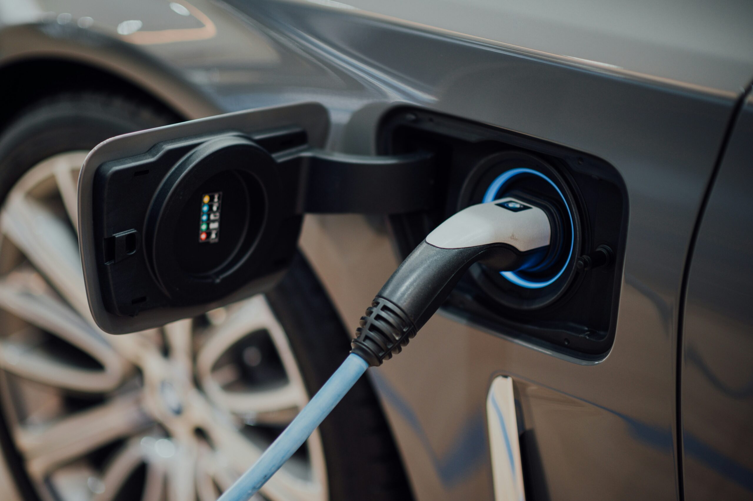
Why Minnesota’s Electric Vehicle Owners May Face a New Charging Tax
Minnesota stands at a crossroads as its lawmakers grapple with a pressing fiscal quandary: how to patch up vanishing road and bridge funds typically sourced from a declining gas tax. With gasoline revenues wilting by an estimated 1-2% annually—an echo of the times as vehicles sip fuel more sparingly—officials in the Land of 10,000 Lakes…
-

Gas tax could be banned in this state – New road charge program in discussion
There seem to be quite several changes happening in this state and one of them is banning its gas tax and replacing it with a new road charge program. One of the top reasons is the rise of electric vehicles that do not use traditional gas, and the state has been criticised for not advancing but rather keeping…
-

WA bill would put gas tax, vehicle fee increases on automatic pilot
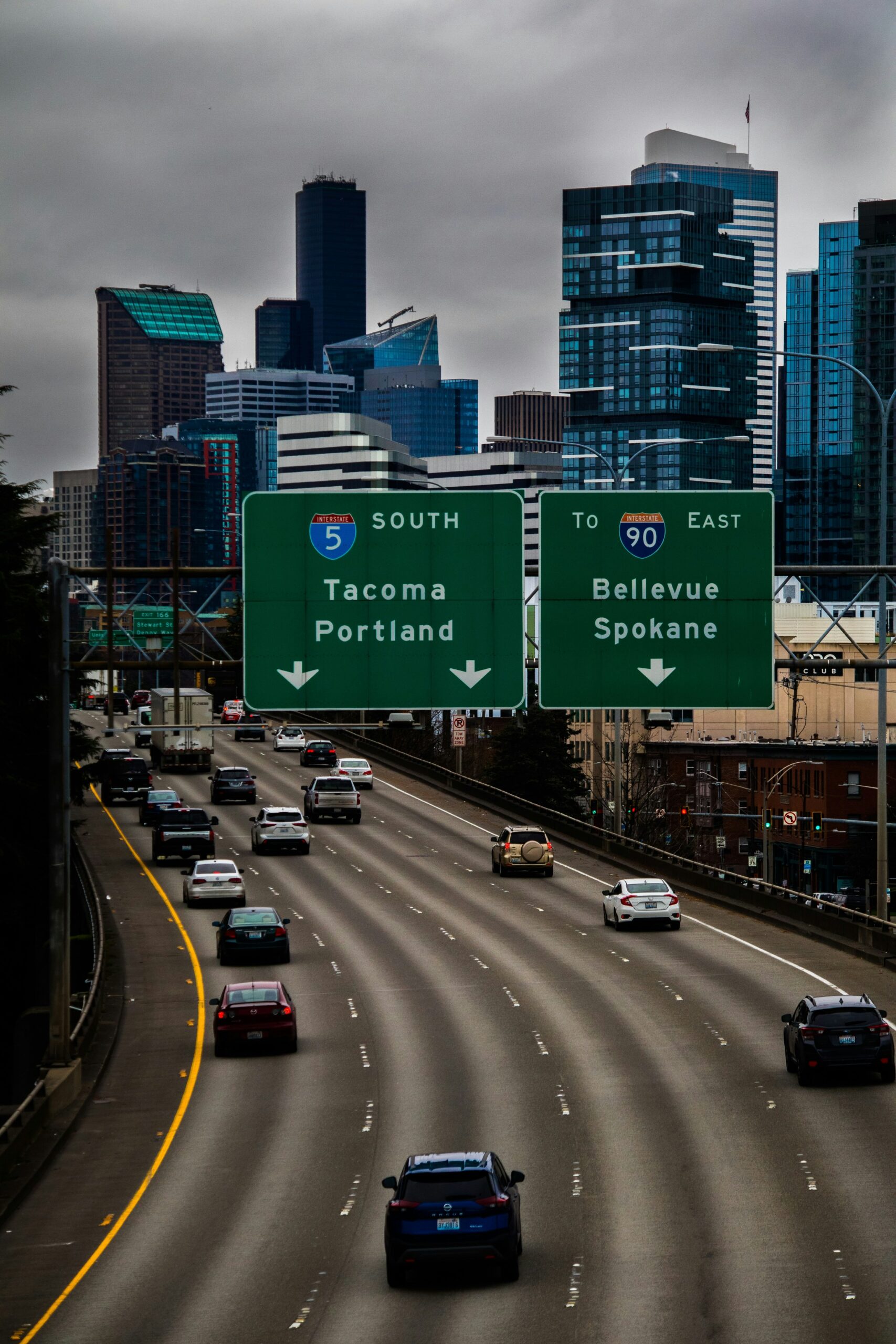
(The Center Square) – Washington state lawmakers are contemplating an increase in a variety of taxes and fees, including the gas tax and electric vehicle registration fee, to finance its proposed 2025-2027 transportation budget. While local government advocates spoke in support of it at a Tuesday public hearing in the House Transportation Committee, one person testifying pushed…
-

Oregon looks to expand per-mile charges for electric cars as gas tax sputters
Oregon recently celebrated registering more than 100,000 electric vehicles, which Gov. Tina Kotek called a “milestone” for reaching the state’s climate goals. But that milestone can also be a millstone around the neck of the state’s transportation system as lawmakers try to figure out how to produce an estimated $1.8 billion annually for the state’s…
-

Oregon’s voluntary pay-by-mile program for motorists is 10 years old, still a trial
Earlier this month, Oregon joined nine other states in meeting a goal to get 3.3 million electric vehicles on the road by 2025. That number is set to grow under a rule that requires all new passenger cars, SUVs, and pickup trucks sold in Oregon to either be fully electric or plug-in hybrid electric by…
-

California gas prices may plummet, drivers will pay up anyway
As an ex-Californian, I’ll admit the state has some of the highest gas prices around. The first time I ever drove across the border, I saw how much a gallon cost, turned around, and filled up in Arizona one last time. Part of the cost is California’s high gas tax. So drivers were thrilled to…
-

WA’s multi-billion-dollar transportation budget shortfall could ‘mean pausing a project’
Washington state’s transportation budget — like its operating-budget — has a bumpy road ahead as lawmakers face a multi-billion-dollar shortfall in the coming biennia. State Sen. Marko Liias, chair of the upper chamber’s transportation committee, puts the transportation-deficit estimate at $4 billion over the next six years. McClatchy spoke with Liias ahead of Monday’s release of the…
-

California’s bold plan: Ditch gas tax, charge per mile
Sacramento, California – As California witnesses a surge in electric vehicle adoption, the state is exploring a significant shift in how it funds road maintenance. The traditional gas tax, currently the nation’s highest at approximately 59 cents per gallon, is facing a looming decline in revenue, prompting lawmakers to consider a mileage-based user fee , known as…
-

With gas tax revenues sliding, Illinois weighs road mileage tax
(The Center Square) – With gas tax revenues on the decline as more and more vehicles require less gas, Illinois state Sen. Ram Villivalam, D-Chicago, is proposing tweaks that would essentially replace the current gas tax structure with a tax by mile system. Engineers Local 150 Executive Director Marc Poulos sees “road usage charge” legislation…
-

California exploring getting rid of the gas tax, replacing it with road charge program
As more drivers turn to zero-emissions vehicles, which don’t have to pay anything at the pump, California’s gas tax could soon be a thing of the past. The state is exploring implementing a California Road Charge, which would replace the gas tax with a mileage-based user fee for drivers who use the roads. Essentially, charging by…
